Here's how to find out a property unit designation in My Map.
Use our services
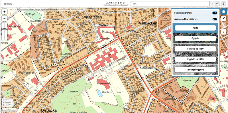
Follow these three steps to find a property unit designation in the My Map service. The images illustrate what is described in the text.
1. Navigate to the Property
Navigate to the property for which you want to know the property unit designation. Use the +/- buttons or the pull bar to the left in the service. Use panoramic view by pressing and holding the left mouse button. You can also scroll in and out of the map if your mouse has a scroll wheel.
2. Change Map Layer to Property Map
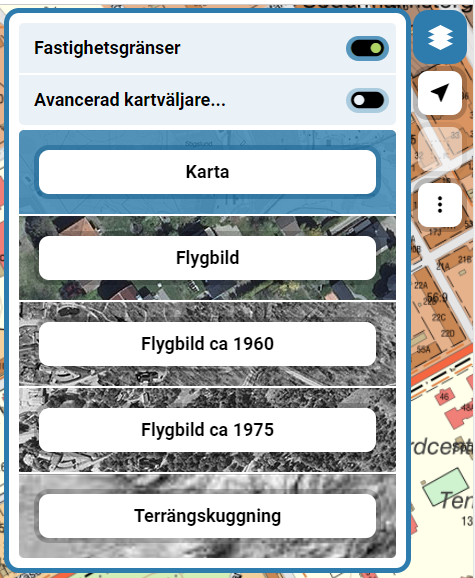
When you have zoomed in close enough, change the map layer to the Property Map. Click the Change map layer button to the right in the service and select Property map. You can now see property boundaries and property unit designations on the map.
3. Select Property
Select the property you are interested in and click on it with the left mouse button. The full property unit designation is now displayed in a box to the right in the service.


